
 [/URL]
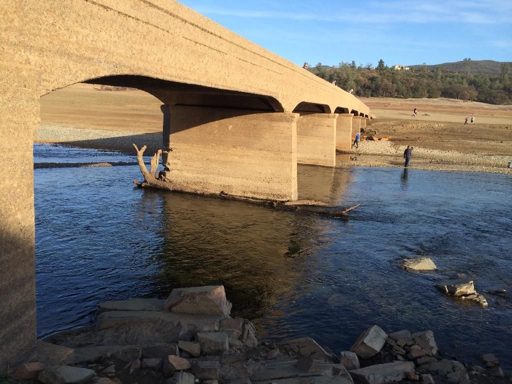 [/URL]
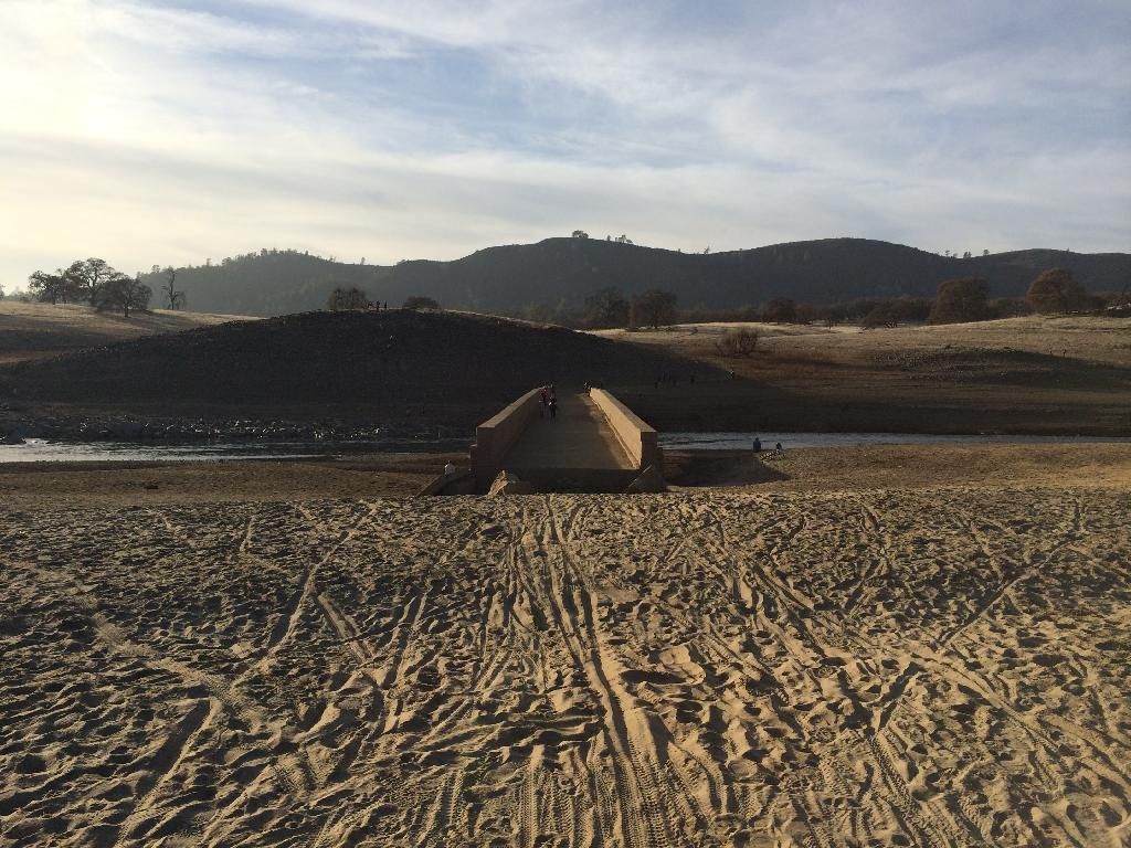 [/URL]


 1 votes
Living Legend

Posted 02 January 2014 - 08:58 PM
[/URL][/URL][/URL]
Hopeless Addict
Posted 02 January 2014 - 09:30 PM
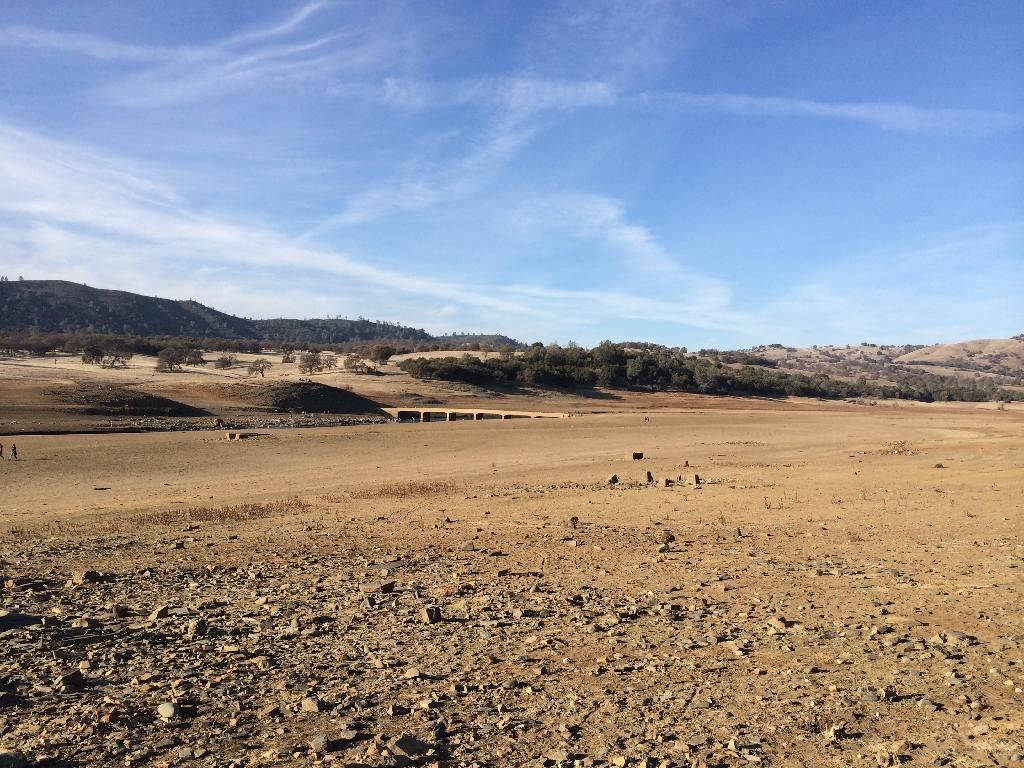
and this is only January! the intake for the water for Folsom, Suburban Water and some other districts is only a few feet under water. I heard one of the councilmen saying on the news that their alternative if it is exposed (meaning our straw is out of the water and we're sucking air) is to buy water elsewhere and that is very expensive. ruh roh.
untitled

Posted 02 January 2014 - 09:37 PM
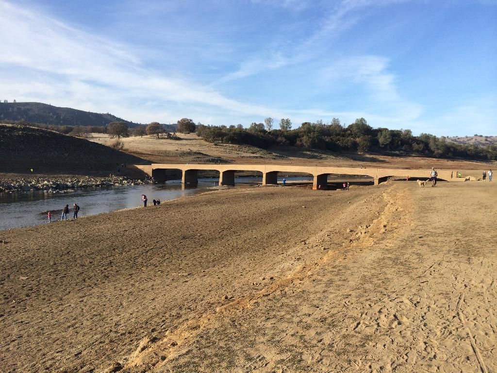
What's the best way to get to the bridge? It's not great seeing the water so low, but great pics, Chris V & Steve.
Hopeless Addict

Posted 02 January 2014 - 09:45 PM
You can walk from the Sweetwater Trial. We went out that way last month and thought it was low. It was a raging river compared to the trickle now.
I saw rain in the forecast for the weekend of the 11th. Fingers crossed.
Founder

Posted 02 January 2014 - 09:57 PM
Hopeless Addict
Posted 02 January 2014 - 10:38 PM
We were out today... A few observations:
1) tons of people... I think last time I was one of maybe 2 people out there. Today, hundreds.
2) same discoveries as last time, people are finding ruins from the community of Red Bank, not Mormon Island. Mormon Island is still very deep under water.
If it ever gets really, really low, we superimposed a map from Mormon Island with the lake, so you have an idea of where it really is. If we ever see it, this town is going to be in a world of hurt. The lake would be practically dry, because the community was right on the river.
Hall Of Famer

Posted 02 January 2014 - 11:59 PM
We were at the bridge yesterday. Pretty sad, the pictures speak for themselves.
Thanks for sharing the pictures. I really hope and pray for rain to get is close to normal. 
Owner

Posted 04 January 2014 - 04:59 PM
If anyone else has pics, please share!
Steve Heard
Folsom Real Estate Specialist
EXP Realty
BRE#01368503
Owner - MyFolsom.com
916 718 9577
Superstar

Posted 04 January 2014 - 05:31 PM
If anyone else has pics, please share!
None from this year yet, but for comparison, here are some I took in late February 2009 when the lake was last low. I recall that Nov and Dec 2008 were pretty dry, but it started getting rainy in Jan/Feb '09. I recall that the previous weekend to these pics was pretty wet. Back then we all prayed for rain, and by the end of May the lake was completely full.
Old Salmon Falls Bridge (click each pic to see larger version)


Normally Submerged Waterwheel at New Salmon Falls Bridge:


At Brown's Ravine


For the complete set, go to http://www.DaveXMast...pes/Folsom-Lake
untitled
Posted 04 January 2014 - 06:18 PM
Thanks for sharing the comparison photos, mrdavex. I just walked past that old water wheel yesterday.
Here's hoping for a repeat of the rain/snow again this year.
Superstar

Posted 04 January 2014 - 07:04 PM
I've been waiting for this one to show up. Mormon Island School just surfaced.

The shool closed in 1938 and this is what it looked like in 1948 just before the dam was built.

There is also a retaining wall across the road from the school. This would have held back what was once part of the current Mormon Island Wetland south of Green Valley.

Founder
Posted 04 January 2014 - 11:33 PM
Hopeless Addict
Posted 05 January 2014 - 04:46 AM
Superstar

Posted 05 January 2014 - 04:50 AM
Time for a rain ceremony folks!
GO NAVY

Posted 05 January 2014 - 08:05 AM
I know. Let's start salting the clouds and get the rain dancers out.


0 members, 0 guests, 0 anonymous users

